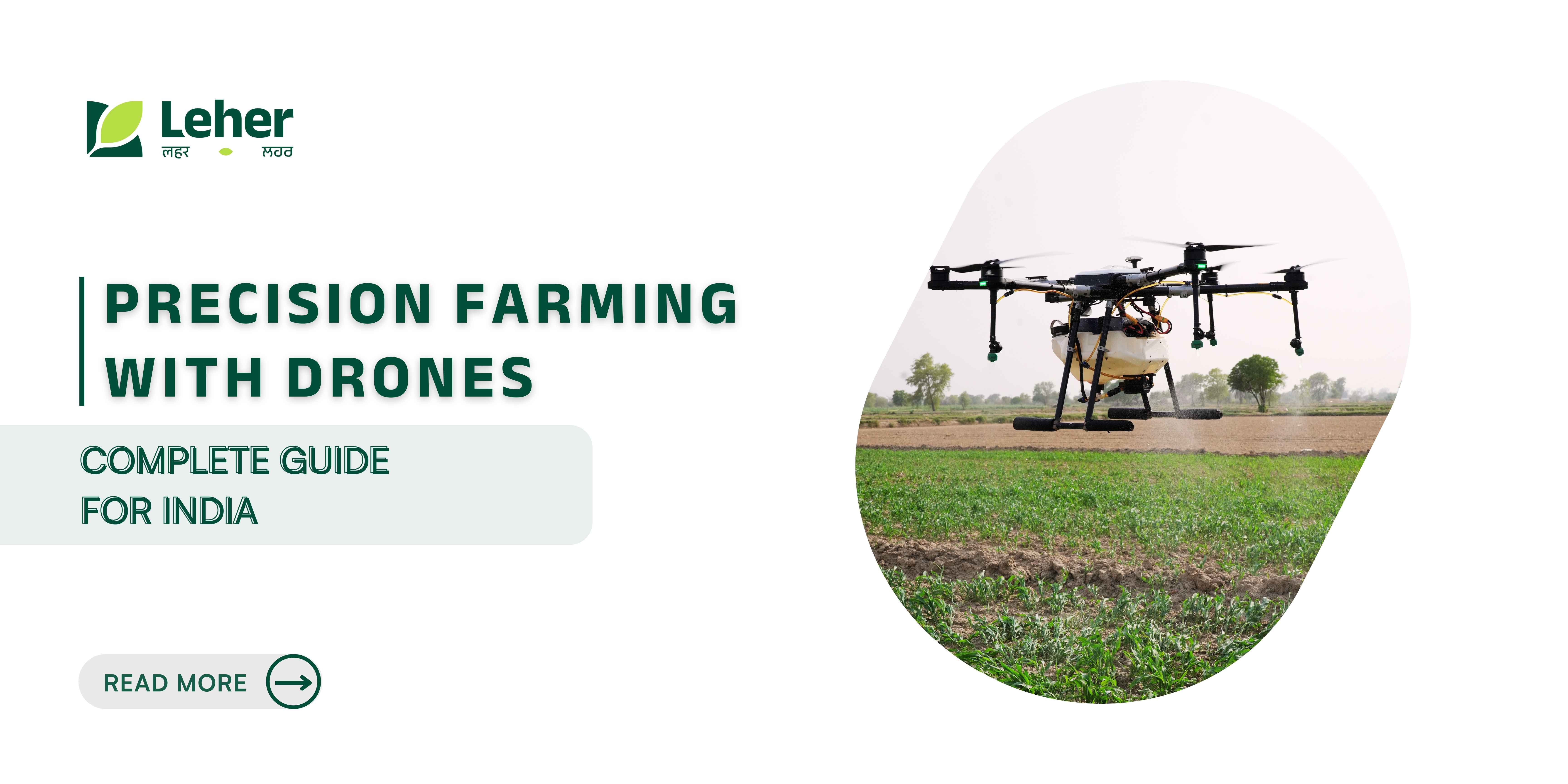
Precision Farming with Drones: Complete Guide for India
You're standing at the edge of your 15-acre cotton field, trying to figure out which sections need more water, where pests might be hiding, and why some patches are yellowing while others look healthy. Walking through the entire field would take hours, and you'd still miss critical details hidden beneath the crop canopy or in hard-to-reach corners.
What if you could get a complete health report of your entire farm in just 30 minutes? What if you could detect crop stress a week before symptoms appear to your eyes? What if you knew exactly which areas need treatment instead of spraying your entire field?
This is what drone agriculture mapping delivers. With field mapping now representing 35.4% of all agricultural drone applications in India, this technology is transforming how farmers monitor crops, manage resources, and make critical farming decisions.
Key Insights
Drone agriculture mapping creates detailed aerial maps using GPS, sensors, and cameras, revealing crop health, soil conditions, and problem areas invisible from the ground with 99% accuracy.
Farmers achieve up to 40% reductions in input costs and 90% in water use by applying resources only where needed, based on precise mapping data.
Mapping drones with multispectral sensors and RTK-GPS detect crop stress 7-10 days before visual symptoms appear, enabling early intervention.
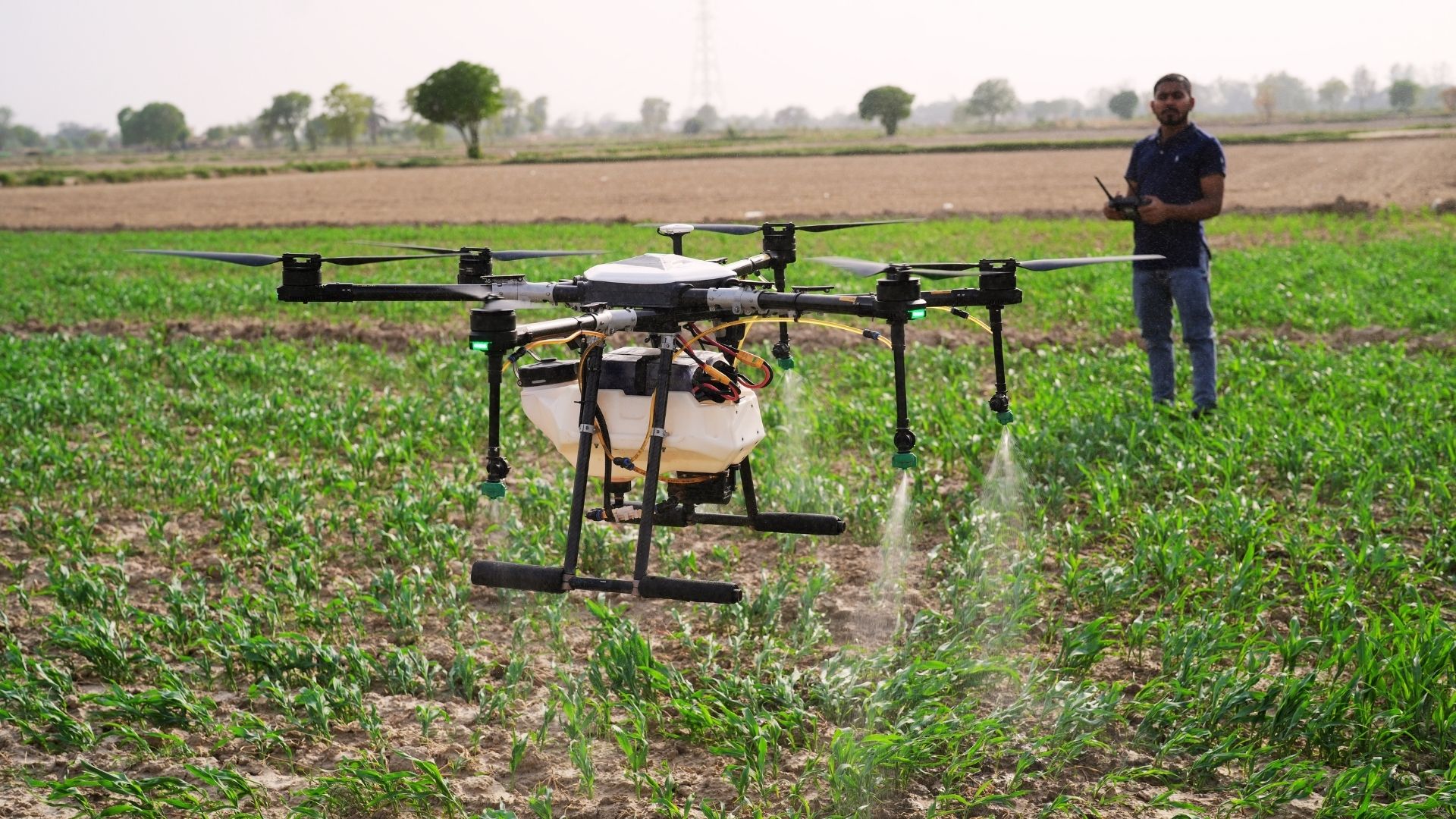
Leher's drone spraying service combines mapping insights with precision application, covering 50 acres per day at ₹300–₹700 per acre.
Drone crop analysis enables yield prediction, early disease detection, and documented proof for insurance claims, turning aerial data into actionable decisions.
What Is Drone Agriculture Mapping?
Think of it as a personalised satellite system for your farm, but available on demand, with centimetre-level accuracy and real-time updates whenever you need them. Unlike traditional ground surveys that take days and miss hidden problems, drones systematically cover every square metre of your field in minutes.
These UAVs fly pre-programmed patterns over your fields, capturing hundreds or thousands of high-resolution photographs. Agricultural drone-mapping software then stitches these images together, identifying patterns invisible to the naked eye.
How Does It Actually Work?
Step 1: Flight Planning
Using drone farming software, you mark your field boundaries on a map. The system automatically creates an optimal flight path, calculating the best altitude and image overlap needed for complete coverage.
Step 2: Automated Data Collection
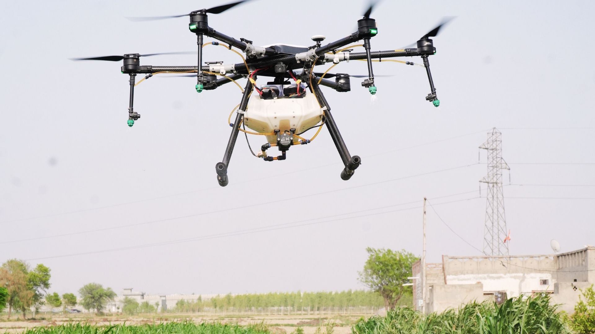
The drone flies the planned route autonomously. Its GPS system (often RTK-GPS for centimetre-level accuracy) ensures systematic coverage of every square metre. Multiple sensors capture different data types simultaneously, visible light, near-infrared, thermal, and more.
Step 3: Image Processing
Agriculture drone image processing software analyses captured images, creating various map types: crop health maps using NDVI (Normalised Difference Vegetation Index), elevation maps showing field topography, soil variation maps, and pest or disease hotspot identification maps.
Step 4: Actionable Insights
Processed data is converted into visual reports with colour-coded maps. Healthy crops appear green, stressed areas show yellow or red, and problem zones are clearly marked with precise GPS coordinates.
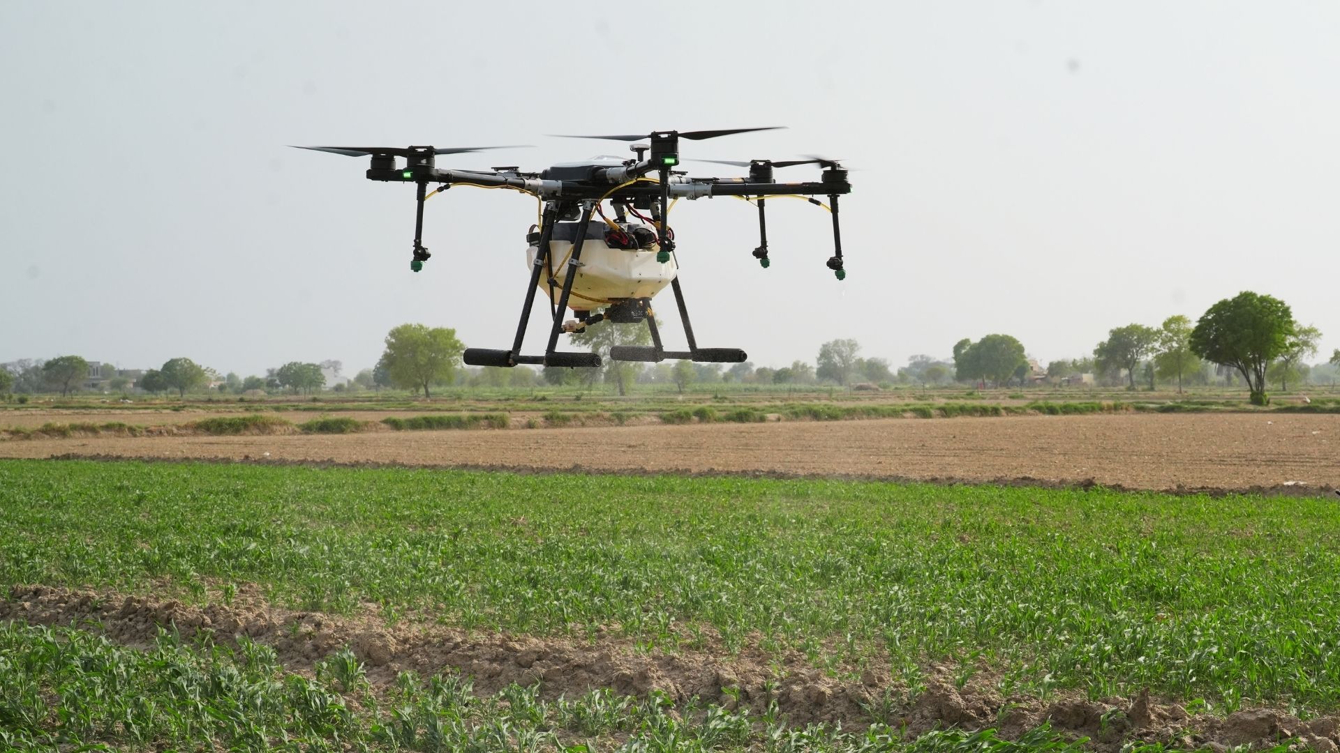
What Makes Mapping Drones Special?
Agricultural mapping drones differ significantly from standard camera drones:
Multispectral sensors: Capture light wavelengths invisible to human eyes, revealing crop stress before visible symptoms
RTK-GPS: Provides positioning accuracy within 2-5 centimetres, crucial for precise field measurements
Extended flight times: Most mapping drones fly 30-45 minutes, covering large areas in single sessions
Weather resistance: Built to handle Indian field conditions, from morning dew to dusty afternoons
Also read: Top Drone Services You Need to Know.
The Problem with Traditional Field Monitoring
Manual field-monitoring methods that worked for previous generations now struggle to meet the precision demands of modern farming. Understanding these limitations helps explain why thousands of Indian farmers are shifting to aerial mapping technology.
Walking the Fields Isn't Enough
Time-Consuming and Exhausting
For example surveying a 10-acre field on foot takes 2-3 hours under the sun. For farms of 30-50 acres, conducting comprehensive ground surveys regularly becomes nearly impossible.
Late Problem Detection
By the time yellowing leaves or pest damage becomes visible during ground walks, problems have often spread significantly. Early-stage crop stress, nutrient deficiencies, or irrigation issues remain invisible until substantial damage occurs.
Inconsistent Coverage
Human inspectors naturally focus on easily accessible areas. Remote corners, waterlogged patches, or dense crop sections frequently get overlooked during manual surveys.
Guesswork in Resource Application
Without precise data, farmers apply the same amounts of fertiliser, pesticide, or water across entire fields. This "blanket approach" wastes inputs in healthy areas while under-treating problem zones.
The Cost of Not Knowing
This lack of precise information creates real financial consequences:
Over-application waste: Applying pesticides uniformly when only 1/3rd of the field needs treatment wastes your inputs.
Reduced yields: Undetected crop stress in even 10-15% of your field directly impacts overall productivity.
Water scarcity challenges: Without knowing which sections need irrigation, farmers either over-water (wasting precious resources) or under-water (reducing yields).
Insurance complications: Crop damage without documented evidence makes insurance claims difficult to prove and process.
How Drone Agriculture Mapping Solves These Problems
Modern aerial mapping technology addresses the limitations of traditional monitoring methods while introducing capabilities previously unaffordable for individual farmers.
Seeing the Invisible
Multispectral imaging captures light wavelengths beyond human vision, detecting crop stress 7-10 days before symptoms appear visually. Imagine catching a pest infestation or nutrient deficiency when it affects only 2-3% of your field, rather than discovering it after 25% shows damage.
This early detection window allows timely interventions that prevent problems from spreading, protecting both your crops and your investment in inputs.
Complete Coverage in Minutes
What takes hours or days on foot, a mapping drone accomplishes in 30 minutes for a 10-acre field. The agricultural drone survey systematically covers every inch, missing nothing. You receive a complete picture of your entire farm's health status in a fraction of the time.
Precision Down to the Square Metre
With 99% field-measurement accuracy, these drones create detailed maps that show variations across your land. You'll discover that your "uniform" field actually has significant variations; some areas retain soil moisture better, others show nutrient depletion, and specific zones are prone to waterlogging.
This level of detail enables true precision farming. Instead of treating your entire 20-acre field identically, you create customised treatment zones based on actual conditions.
From Data to Decisions
The best drone software for agriculture translates aerial data into practical farming actions:
For Fertiliser Application
NDVI maps show which zones need more nitrogen. For example, you might discover only 6 of your 15 acres need additional fertiliser, saving fertiliser costs that season.
For Pest Management
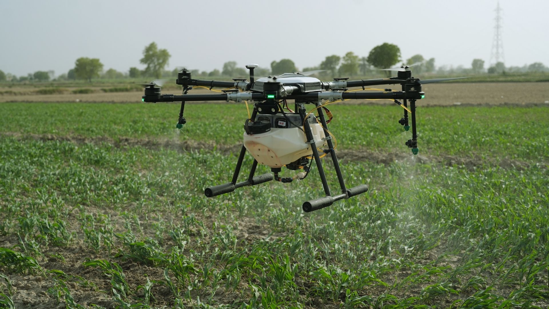
Thermal imaging detects temperature variations indicating pest activity. Early detection means spraying only the affected 2-acre section rather than the entire 25-acre field.
For Irrigation Planning
Soil moisture maps identify both overwatered and underwatered zones. You can fine-tune irrigation systems to apply water only where it’s truly needed, achieving water savings of up to 90% in areas that are already sufficiently moist.
For Yield Prediction
Vegetation indices and plant-count algorithms help predict harvest yields weeks in advance, enabling better planning for labour, storage, and market timing.
Ready to experience precision farming without the complexity? Visit Leher's website to connect with certified drone pilots who handle all technical aspects while you focus on farming decisions.
Drone Mapping + Precision Spraying: The Complete Solution
Mapping data becomes truly valuable when combined with precise action. This integration represents the future of efficient farming, where every decision is backed by accurate field intelligence and every intervention is targeted exactly where needed.
The Integrated Precision Farming Workflow
Phase 1: Pre-Season Baseline Mapping
Before planting, map your fields to understand soil variations, elevation changes, and moisture patterns. This baseline helps in planning crop placement and irrigation design.
Phase 2: Growth Stage Monitoring
Conduct mapping flights every 10-15 days during critical growth stages. Track crop development, identify emerging issues, and adjust management plans accordingly.
Phase 3: Targeted Intervention with Precision Spraying
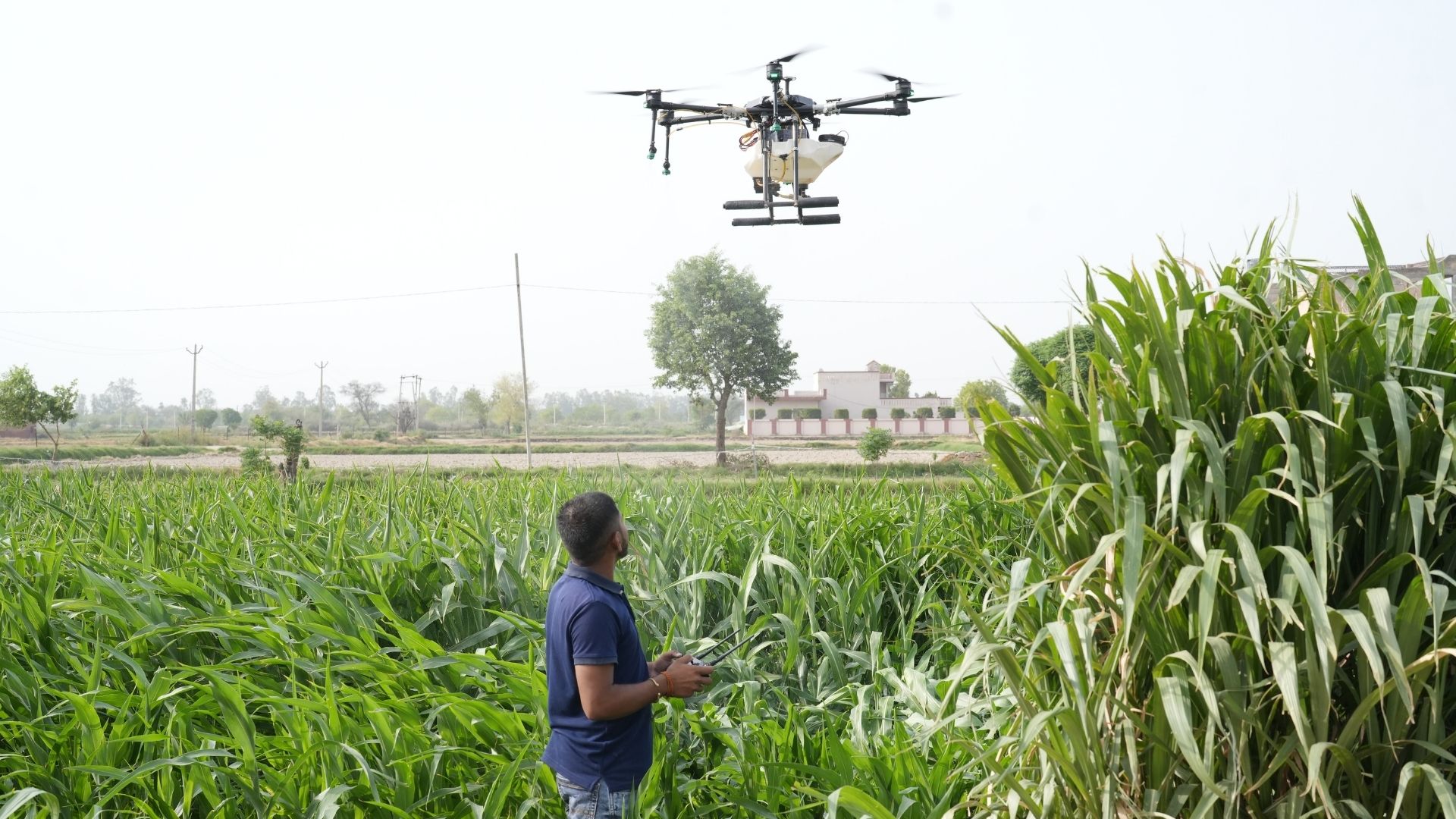
When mapping reveals problem areas, pest hotspots, nutrient deficiencies, or disease patches, immediately book Leher's drone-spraying service via the mobile app. DGCA-certified pilots arrive with spray drones to treat exactly the zones identified in your mapping analysis.
Phase 4: Post-Treatment Verification
Follow-up mapping confirms treatment effectiveness, showing whether the intervention solved the problem or if additional action is needed.
Also read: Advancements in Drone Battery Technology and Performance.
The Economics of Precision
Traditional approach to a 20-acre field with a pest problem.
Example:
Blanket spray entire field: 20 acres × ₹800/acre = ₹16,000
Pesticide waste in the unaffected 60% of the field: ~₹9,600 wasted
Mapping + precision spraying approach.
Example:
Mapping flight: ₹3,000 (one-time)
Spray only affected 8 acres: 8 × ₹500/acre = ₹4,000
Total cost: ₹7,000
Savings: ₹9,000 (56% cost reduction)
Over a full season with 4-5 spraying cycles, these savings compound dramatically.
ROI Timeline
Immediate Savings (Season 1):
30-40% reduction in pesticide and fertiliser costs
50-90% water savings through precision irrigation
20-30% labour cost reduction
Medium-Term Benefits (Seasons 2-3):
15-25% yield improvement from timely interventions
Better crop quality leading to 10-15% price premiums
Reduced crop loss from early disease detection
Long-Term Gains (Year 2+):
Improved soil health from avoiding over-application
Historical data enabling better crop selection
Enhanced land value with documented productivity
Government Support Available
Kisan Drone Scheme
Provides subsidies up to 50% for farmers, 40% for Farmer Producer organisations (FPOs), and even higher percentages for SC/ST and women farmers.
Agricultural Infrastructure Fund (AIF)
Offers loans up to ₹2 crores for purchasing drones and related equipment with attractive interest rates.
State-Level programmes
Several states run pilot programmes that provide free or subsidised drone services to demonstrate the technology's benefits.
Benefits for Different Farm Stakeholders
Drone agriculture mapping delivers unique value to each player in the agricultural ecosystem. Understanding these specific benefits helps different stakeholders make informed decisions about adoption.
For Individual Farmers (7+ Acre Holdings)
Time Liberation
Get comprehensive field data in hours instead of spending days on manual surveys. Redirect this time to other critical farm activities or simply reduce your workload.
Data-Driven Confidence
Make decisions based on precise data rather than instinct. Know exactly where problems exist and what they need, eliminating guesswork.
Resource Optimisation
Apply inputs only where needed, when needed, in the right quantities. This reduces costs while maintaining or improving yields.
Documentation for Credit and Insurance
Regular mapping creates documented records of farming practises and crop health, valuable when seeking loans or filing insurance claims.
For Rural Youth and Aspiring Drone Entrepreneurs
Growing Market Demand
The Indian agricultural drone market is projected to reach ₹19,069 crore by 2033, growing at 24.1% annually. There's substantial room for service providers in every district.
Multiple Revenue Streams
Offer mapping services, precision spraying, yield estimation, insurance documentation, and soil analysis, diversifying income sources.
Government Training and Certification
DGCA-approved training programmes and Leher's drone pilot training equip students with the skills and certification needed to operate legally and professionally.
Partnership Opportunities
With Leher's drone partner program, start earning without a massive upfront investment in expensive equipment.
For Corporate Farms and Agribusinesses
Scalable Monitoring
Manage thousands of acres across multiple locations with consistent data quality. Receive reports from all farms in a unified format for easy comparison.
Variable Rate Application (VRA)
Implement sophisticated precision farming in which inputs automatically adjust based on mapping data, optimising inputs across large areas.
Supply Chain Quality Assurance
For contract farming operations, regular mapping ensures crop quality standards are maintained, harvest timing is optimal, and supplier farms meet expectations.
ESG and Sustainability Reporting
Document reduced water usage, chemical application, and carbon footprint through precision agriculture, strengthening environmental credentials.
For Agri-Service Providers and Input Dealers
Value-Added Services
Differentiate your business by offering mapping services alongside traditional inputs. Help farmers understand exactly what products they need and where to apply them.
Data-Driven Recommendations
Move from generic advice to specific, field-based recommendations backed by actual mapping data. This builds trust and customer loyalty.
New Business Lines
Add mapping, crop monitoring, and yield estimation services to your portfolio to create additional revenue streams beyond product sales.
Want to explore partnership opportunities in precision agriculture? Connect with Leher to discuss how drone mapping services can grow your agribusiness.
Regulatory Framework and Safety in India
Operating agricultural drones legally in India requires understanding and following specific regulations. While these rules ensure safety and responsible use, they're straightforward to comply with when working with certified service providers.
Key Regulatory Requirements
Drone Registration
All agricultural drones must be registered on the Digital Sky Platform. This online system categorises India's airspace into green (automatic permission), yellow (controlled airspace requiring permission), and red (no-fly zones).
Pilot Certification
Drone operators need a Remote Pilot Certificate from DGCA-authorised training organisations. This ensures pilots understand airspace regulations, safe flying practises, and emergency procedures.
Permission Requirements
While agricultural operations in rural areas often fall in green zones (no permission needed for flights below 400 feet), checking before each operation remains essential. Yellow zones require permission through the Digital Sky Platform.
Type Certification
Agricultural drones must have type certificates from quality testing organisations, ensuring they meet safety and performance standards.
How Leher Ensures Compliance
When you book services through Leher's platform, regulatory complexities are handled for you:
All Leher drone pilots are DGCA-certified
Drones used are properly registered and type-certified
Digital Sky permissions are managed by the service provider
Operations follow all safety protocols and airspace rules
Safety Best practises
Pre-Flight Checks
Verifying battery charge, GPS signal strength, sensor calibration, weather conditions, and checking for obstacles in the flight area.
Safe Operating Distance
Maintaining an appropriate distance from people, buildings, livestock, and power lines. Agricultural mapping drones typically fly 30-50 metres above crops.
Data Privacy
Ensuring aerial images of farms are used only for agricultural purposes and stored securely.
Emergency Protocols
Clear procedures for handling lost GPS signal, low-battery warnings, unexpected weather changes, and equipment malfunctions.
Also read: Drone Spraying Requirements and Regulations Guide
Getting Started: Your Action Plan
Transitioning from traditional monitoring to drone-based precision farming doesn't require technical expertise or massive upfront investment. A strategic, gradual approach works best for most farmers.
For First-Time Users
Step 1: Start Small
Don't try to map your entire farm initially. Choose one problematic field or a high-value crop area where you suspect issues but lack clear data.
Step 2: Book a Demonstration Flight
Contact Leher or other service providers for a demo mapping flight. See the technology in action and understand what outputs you'll receive before committing to regular services.
Step 3: Learn to Read the Maps
Most service providers offer basic training on interpreting vegetation index maps and identifying problem zones. Take advantage of this to build your skills.
Step 4: Act on the Data
Mapping is only valuable if you use the insights. When your maps show specific issues, respond with targeted interventions, such as precision spraying with Leher, adjusted irrigation, or localised fertiliser application.
Step 5: Track Results
Document how your interventions based on mapping data affect yields and costs. This builds confidence and helps refine your approach over time.
Step 6: Expand Gradually
As you see results, expand mapping to more fields and increase frequency during critical growth stages.
Booking with Leher is Simple
Download the Leher app (available for Android and iOS) and book drone agriculture mapping combined with precision spraying in three easy steps:
Select your field location and mark boundaries on the app's map interface.
Choose your service: mapping only, spraying only, or combined services.
Schedule a time that works for you, and a DGCA-certified pilot will arrive with the necessary equipment.
Payment is made only after the service is completed to your satisfaction.
Conclusion: The Smart Path Forward
Indian agriculture faces unprecedented challenges, labour shortages, water scarcity, climate variability, and pressure to increase productivity sustainably. Continuing with traditional monitoring methods alone leaves farmers operating in the dark, applying inputs uniformly, and discovering problems only after significant damage occurs.
Drone agriculture mapping represents a fundamental shift toward data-driven, precision farming. Every season without this technology means continuing to waste inputs across entire fields, missing early problem signs until substantial damage occurs, and operating without the data needed to optimise your farm's potential.
You don't need to invest lakhs in buying drones, become a technical expert overnight, or transform your entire operation immediately. Start with one field, one mapping flight, and one targeted intervention based on what you learn. Experience firsthand how aerial sensing, with technology that reveals what eyes cannot, transforms decision-making.
Ready to see your farm through a new lens? Take the First Step Today. Download the Leher app on Android or iOS and book your first drone agriculture mapping service today. Our DGCA-certified pilots are ready to provide insights you need to make this your most productive season yet.
Frequently Asked Questions (FAQs)
1. How accurate is drone agriculture mapping compared to satellite imagery?
Drone mapping significantly outperforms satellite imagery for farm-level applications. While satellites offer broader coverage, their resolution is typically 3-10 metres per pixel, with images often 5-15 days old due to cloud cover and orbital schedules. Drone mapping provides a resolution of 1-5 centimetres per pixel with on-demand capture. For practical crop health assessment, pest detection, and field variability mapping, drones deliver actionable precision that satellites cannot match at the individual farm level.
2. Do I need separate drones for mapping and spraying, or can one drone do both?
Most agricultural drones specialise in either mapping or spraying due to different design requirements. Mapping drones prioritise flight time, sensor payload, and stability for high-quality image capture. Spray drones focus on liquid payload capacity, nozzle precision, and low-altitude manoeuvrability. However, you don't need to own both types; service platforms like Leher provide both services seamlessly, deploying appropriate equipment for each task. This service model is more economical for most farmers than purchasing multiple drones.
3. How often should I map my fields during a growing season?
Ideal mapping frequency depends on crop type and specific challenges. General guideline: map once pre-planting for baseline data, once at 25-30 days after planting to verify crop establishment, 2-3 times during critical growth phases (flowering, pod formation) when problems typically emerge, and once pre-harvest for yield estimation. High-value crops or fields with recurring issues may benefit from fortnightly mapping. Balance information value against service costs.
4. Can drone mapping work for small farms under 5 acres, or is it only practical for large holdings?
Drone-based agricultural mapping works well for smaller farms and can be particularly cost-effective. Since service charges typically run ₹200-400 per acre for mapping, even a 3-acre holding costs just ₹600-1,200 per mapping flight. The key is using data strategically, even on small farms; identifying a 0.5-acre problem zone and treating only that area can save hundreds of rupees per spray cycle. Small farmers can also coordinate with neighbours to book mapping services for adjacent fields together, reducing per-farm costs.
5. What happens to my farm data? Is my information safe and private?
Reputable drone service providers treat farm data with strict confidentiality. Images and analyses of your fields are typically stored on secure cloud platforms that use encryption and are accessible only to you and authorised service personnel. Your data is never shared with third parties without explicit consent. Always verify the service provider's data privacy policy before booking. With Leher, your farm data remains your property, secured through industry-standard practises, and you control access.
6. Can drones detect specific diseases or just show general crop stress?
Current agricultural mapping drones excel at detecting crop stress, nutrient deficiencies, and general health variations through multispectral imaging. However, pinpointing specific diseases or pest species typically requires combining drone data with ground-truthing, physically inspecting problem areas identified by mapping to confirm exact issues. Emerging AI-powered systems can identify specific diseases from aerial signatures, but they are still being refined. For most practical purposes, drones pinpoint problem areas, enabling focused ground inspections in specific zones rather than searching entire fields.
Let’s Grow Together!
Interested in drone spraying solutions? Connect with us today.